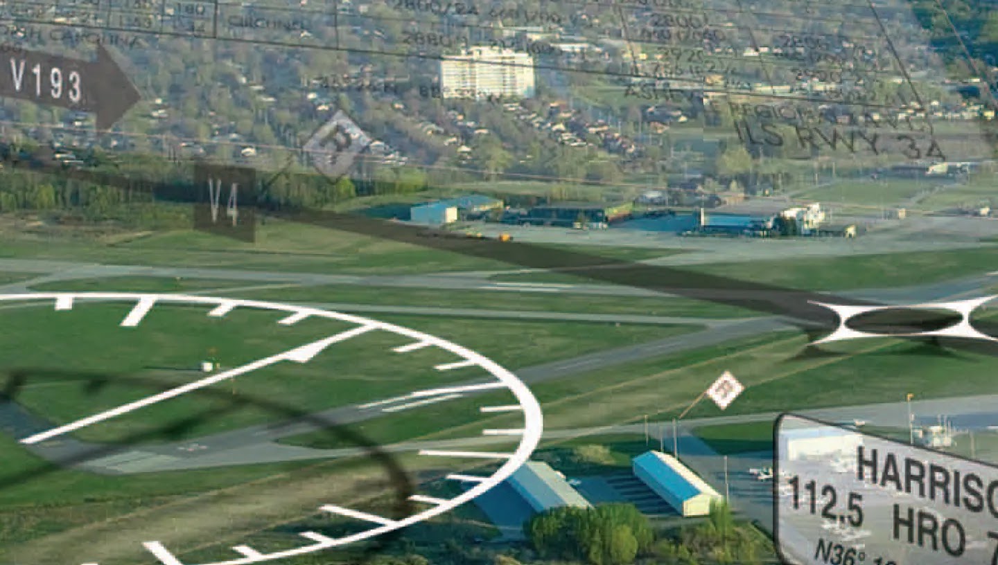
The National Airspace System

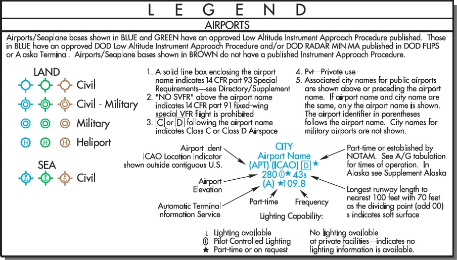
The National Airspace System (NAS) is the complex network of United States airspace, comprising navigation facilities, equipment, services, airports, aeronautical charts, and the regulations that govern them. It represents a vast integration of technology and procedures, including components shared with the military, designed to support everything from light aircraft to high-altitude jet transport. To ensure … Read more
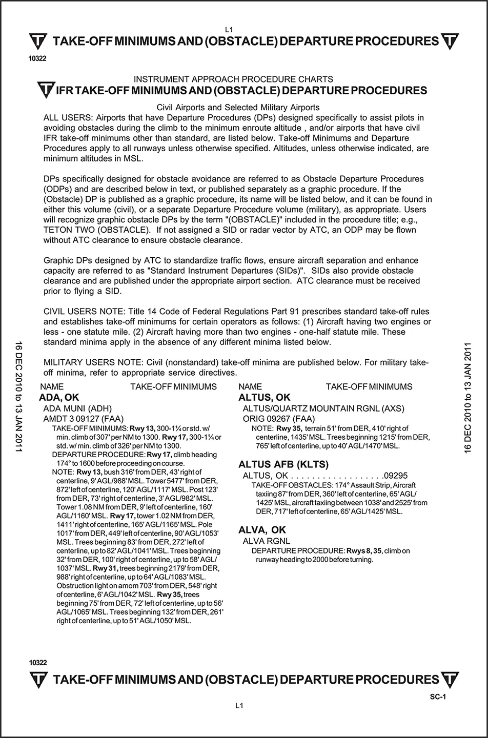
Terminal Procedures Publications

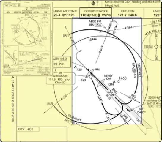
While en route charts provide the information necessary to safely transit broad regions of airspace, the United States Terminal Procedures Publication (TPP) enables pilots to safely and efficiently operate in the terminal environment, where traffic density and workload are highest. Whether departing or arriving, these standardized procedures help ensure obstacle clearance, traffic separation, and predictable … Read more

New Technologies in the National Airspace System

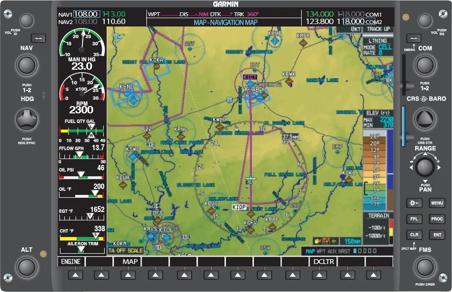
Technological advancements in avionics have significantly enhanced the efficiency, safety, and capacity of the National Airspace System (NAS). One of the most notable developments is the widespread adoption of multifunction displays (MFDs) and moving map technology in modern aircraft. Even many older aircraft are now being retrofitted with “glass cockpit” systems (Figure 1). Moving maps … Read more

IFR En Route Charts

The objective of IFR en route flight is to navigate within the lateral limits of a designated airway at an altitude consistent with the ATC clearance. Your ability to fly instruments safely and competently in the system is greatly enhanced by understanding the vast array of data available to the pilot on instrument charts. AeroNav … Read more

Introduction to The National Airspace System

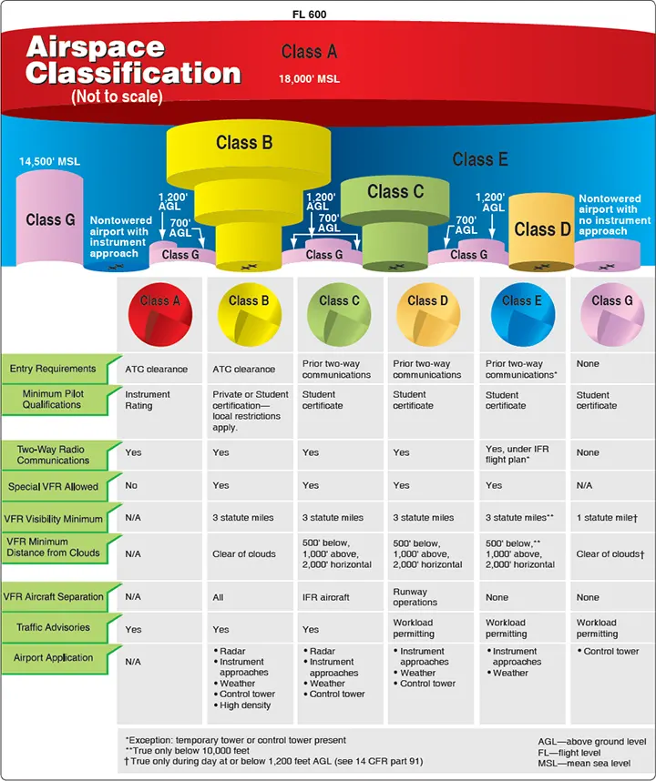
Airspace Classification Airspace in the United States [Figure 1] is designated as follows: 1. Class A. Generally, airspace from 18,000 feet mean sea level (MSL) up to and including flight level (FL) 600, including the airspace overlying the waters within 12 nautical miles (NM) of the coast of the 48 contiguous states and Alaska. Unless … Read more

Terminal Arrival Area

The design objective of the TAA procedure is to provide a transition method for arriving aircraft with GPS/RNAV equipment. TAAs also eliminate or reduce the need for feeder routes, departure extensions, and procedure turns or course reversal. The TAA is controlled airspace established in conjunction with the standard or modified RNAVapproach configurations. The standard TAA … Read more

Instrument Approach Procedure Charts

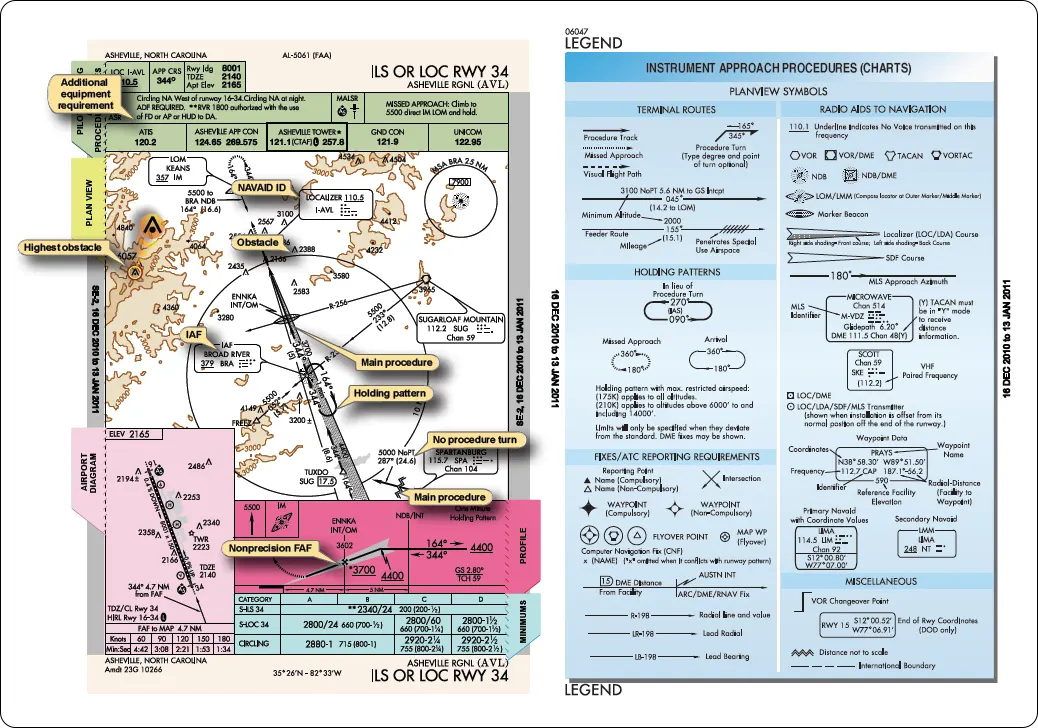
The instrument approach procedure (IAP) chart provides the method to descend and land safely in low visibility conditions. The FAA establishes an IAP after thorough analyses of obstructions, terrain features, and navigational facilities. Maneuvers, including altitude changes, course corrections, and other limitations, are prescribed in the IAP. The approach charts reflect the criteria associated with … Read more